Your territory on Archistoire
ARE YOU A LOCAL AUTHORITY, TOURIST OFFICE OR CULTURAL MEDIATOR?
Would you like to study the design of a trail dedicated to promoting your region? Tell us about your project and we'll get in touch with you.
The Many Uses of Archistoire
Archistoire enables the creation of a wide variety of digital engagement experiences centered on architecture, landscapes, and heritage. Depending on the project, the content can take various forms and be tailored to both the target audience and existing platforms.
-
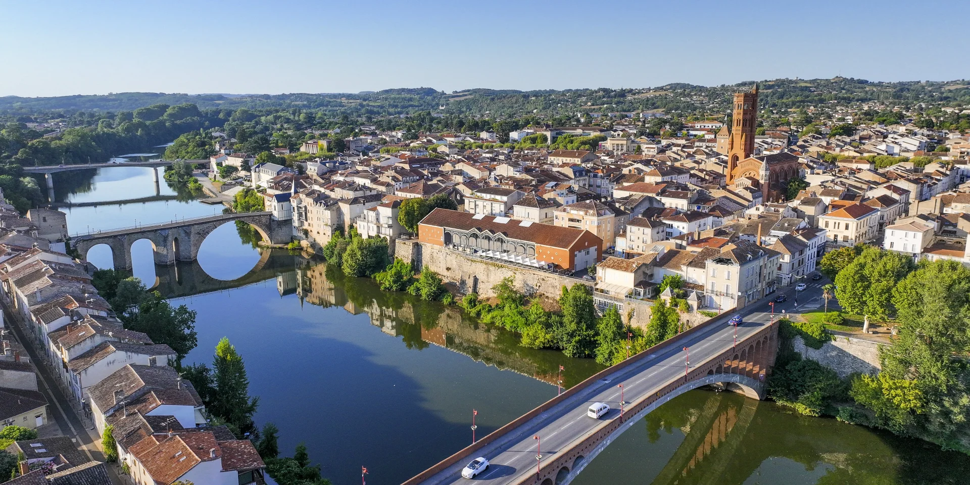
Augmented walks
Geolocated discovery tours that invite visitors to explore a region in person. Guided by the app, visitors discover the area through immersive panoramas, multimedia narratives, and interactive content that reveal the history and transformations of the landscape. Thanks to the hybrid reality technology developed in Archistoire, these tours can also be explored remotely.
-
Interactive workbook and teaching resources
Archistoire can also take the form of interactive digital guides, designed to explain a region, an urban project, or a specific topic. Timelines, regional atlases, diagrams, infographics, and flowcharts provide an educational and accessible overview, suitable for both the general public and schoolchildren.
-
Virtual Exhibitions
Archistoire tours can also be transformed into full-fledged virtual exhibitions. Panoramic images, archival materials, videos, maps, and narratives come together to create an interactive experience that offers a fresh perspective on a place or a story.
-
A tour guide
Archistoire can also complement or enhance existing educational resources, such as interpretive panels, exhibitions, visitor guides, heritage trails, and cultural events. With a simple QR code, visitors can access digital content that provides additional context and extends the visit experience.